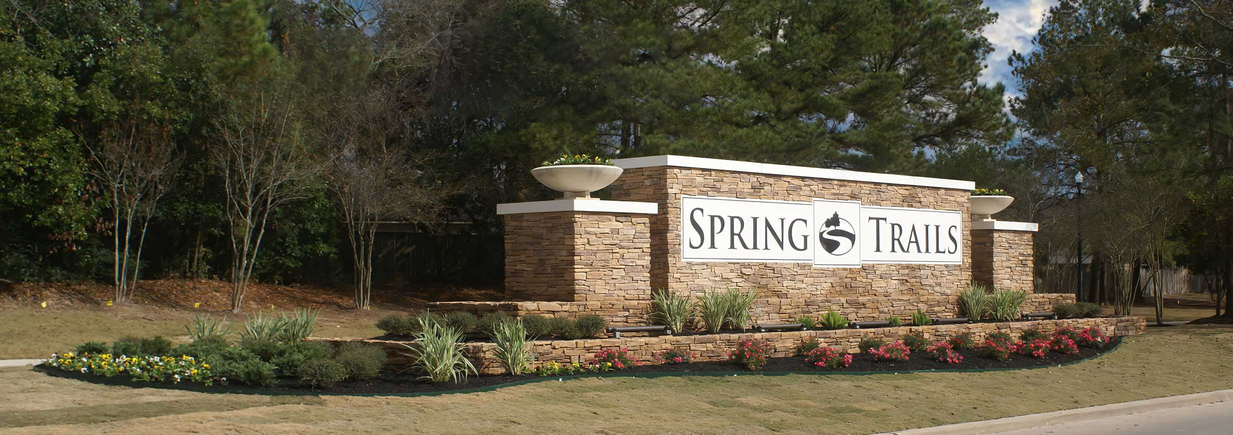
View an interactive map of the District boundaries. The District contains approximately 666.59 acres of land and is located within Montgomery County.
History
Created on September 11, 2002, by order of the Texas Natural Resource Conservation Commission, predecessor to the Texas Commission on Environmental Quality (the “TCEQ”), and operates pursuant to Chapters 49 and 54 of the Texas Water Code, as amended. The District consists of approximately 667 acres of land.
The District is located in Montgomery County, approximately 23 miles north of the central downtown business district of the City of Houston and within the extraterritorial jurisdiction of the City of Houston. The District is also within the boundaries of the Conroe Independent School District (“Conroe ISD”). Access to the District is provided by the Hardy Toll Road north to Riley Fuzzel Road. The District’s northwest boundary is Spring Creek is to the south and west of the District.
